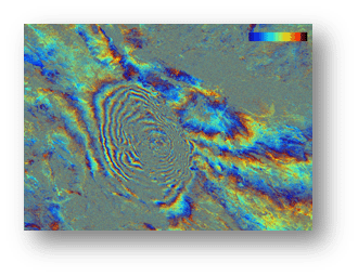
Radar Remote Sensing (SAR)
Satellite radar data help measure ground movement and change.

GAP srl Earth Observation
Satellite remote sensing, SAR analysis, optical data, UAV and meteorology turn Earth observations into practical tools for monitoring our world.
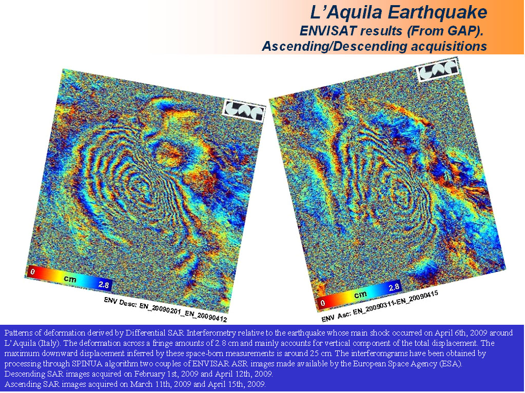
What we do
Complementary technologies reveal different aspects of our changing environment.
Satellite radar data help measure ground movement and change.
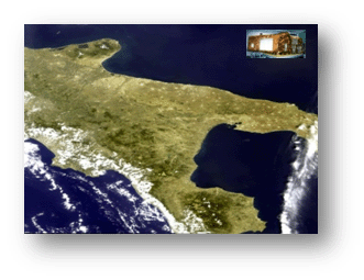
Optical imagery supports environmental and coastal monitoring.
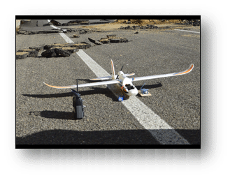
Aerial surveys and photogrammetry provide detailed observations of the land.
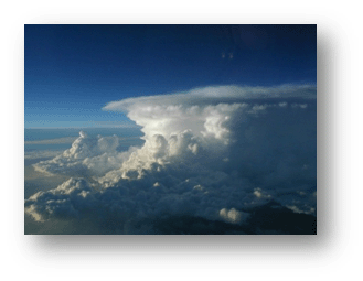
Weather and climate models and maps support analysis and decisions.
Our approach
Satellite, SAR, optical, UAV and weather data.
Processing and interpreting geospatial signals.
Turning measurements into clear, reliable information.
Maps, services and WebGIS for the territory.
In practice
WebGIS
Access the existing GAP WebGIS dashboard to explore territorial data in an interactive environment.
Open WebGISResearch & projects
GAP develops research activities and participates in projects connecting Earth observation with applications.
Explore research and publicationsUpdates

News 2026 AI-based Damage Detection for Power Grids: publication in MDPI Remote Sensing GAP is pleased to share its latest technical paper published in the…

News 2026 AI-based Damage Detection for Power Grids: publication in MDPI Remote Sensing GAP is pleased to share its latest technical paper published in the…

News 2026: GAP srl at ESA Fringe 2026: papers on MT-InSAR for urban areas and vegetated environments This week, technical papers and methodologies developed by…
GAP srl
Tell us about your monitoring or geospatial-analysis needs.